
Cameroon's Independence: Communication Networks in Liberation Cartography
Information as Territory

The French colonial maps of Cameroon tell one story. The British administrative charts tell another. But the liberation maps drawn by independence fighters reveal a third narrative entirely, one written in the language of resistance networks that colonial cartographers never intended to document.
Cameroon's independence on May 20, 1960 represents more than political liberation. It demonstrates how communication networks become liberation technology, how information flows transform occupied territory into sovereign space. This transformation mirrors our current cosmic shift from Taurus season's material focus into Gemini's communication-centered territory.
Understanding Cameroon's cartographic revolution requires examining how maps function as communication systems rather than neutral representations of space.
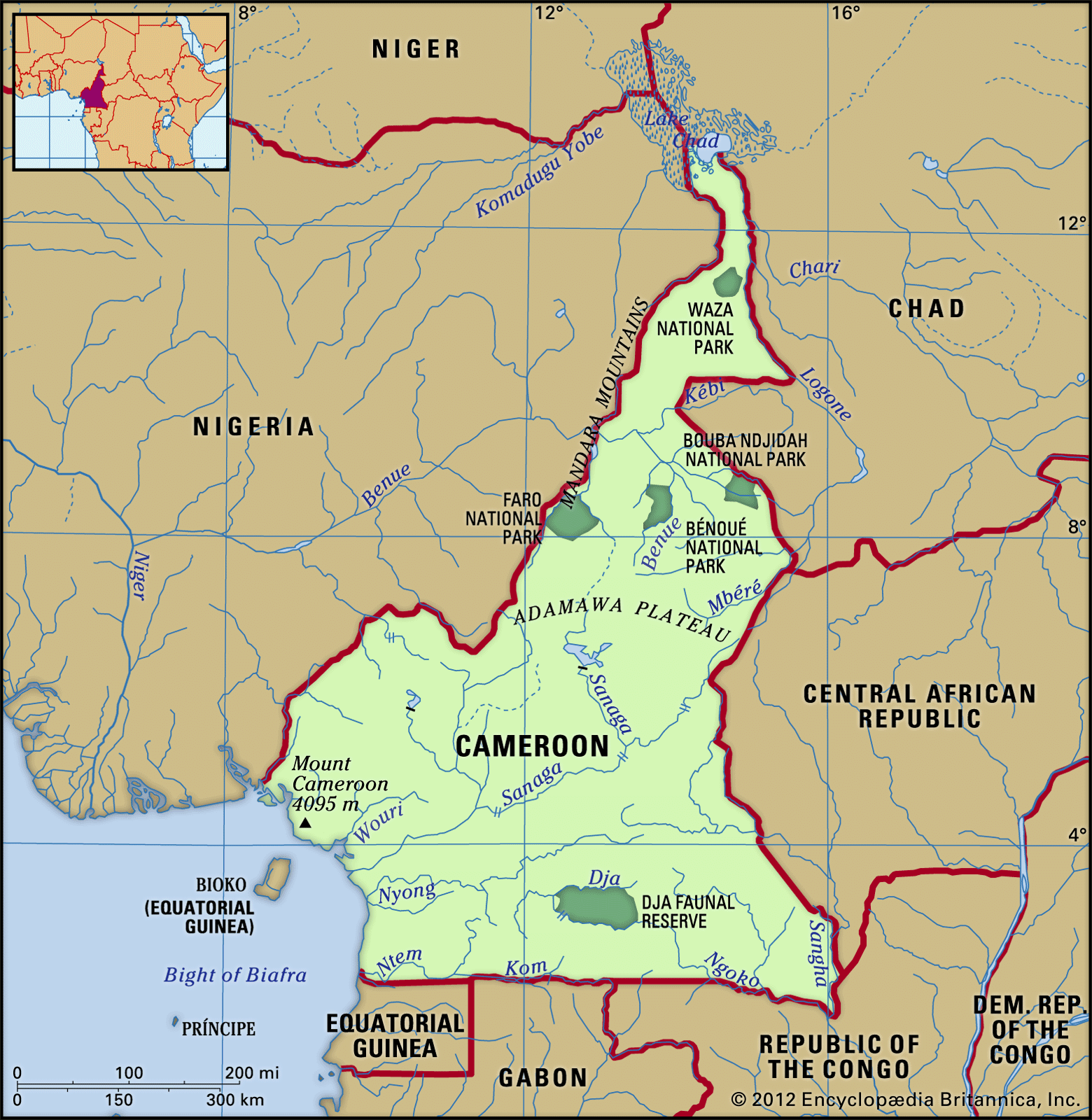
The Cartography of Divided Rule
Colonial powers divided Cameroon between French and British administration after World War I, creating what they called "rational" boundaries that ignored existing cultural and linguistic territories. French Cameroun occupied the eastern portion while British Cameroons controlled two western sections separated by Nigerian territory.
